Drumlins Along Highway 29
Steven Dutch, Professor Emeritus, Natural and Applied Sciences, University of Wisconsin - Green Bay
 |
 |
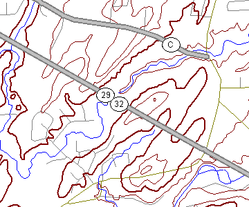 |
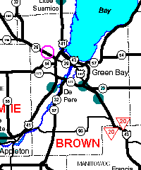
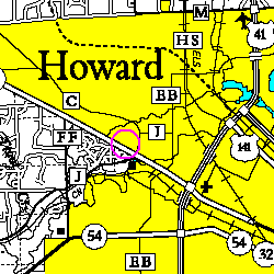
State Highway 29 crosses a number of drumlins as it heads west from the city of Green Bay. Pamperin Park at the extreme south edge of the map is described on another page. |
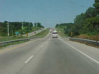 |
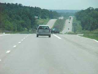
Looking west along Highway 29 as it crosses Duck Creek (the bridge in foreground). |
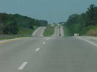 |
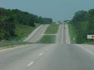
The undulating topography shows clearly where the highway crosses successive drumlins. This and the next two views are looking west. |
 |
|
 |
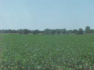
A broad valley separates the main drumlin belt from Burdon Hill, the northwesternmost drumlin |
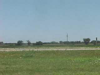 |
Beyond the drumlins, the topography abruptly becomes very flat but also much higher than the Green Bay lowland. This is a glacial lake plain thinly mantled by till. This view is looking north across Highway 29 from Overland Road |
 |
A view of the lake plain from the same location, looking south. |
 |
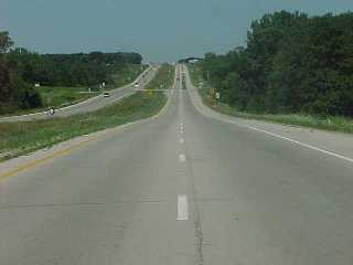
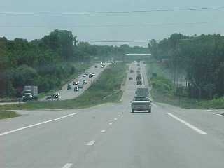
A view of the undulating drumlin landscape looking east on Highway 29. |
 |
Looking east across the valley of Duck Creek. |
Return to Geology of Wisconsin
Index
Return to Geologic
Localities Index
Return to Professor Dutch's Home Page
Created 19 May 1999, Last Update 11 January 2020